Maps of Fair Isle
Modern maps
Open SEPA (modern) maps in a new window
Old maps
 Extract of the 1878 6-inch OS map showing the South Harbour area. © NLS
Open National Library of Scotland's historical maps in a new window (select 'Scotland' as category)
Extract of the 1878 6-inch OS map showing the South Harbour area. © NLS
Open National Library of Scotland's historical maps in a new window (select 'Scotland' as category)
Satellite images
There are at least two excellent satellite images of Fair Isle.
Google maps
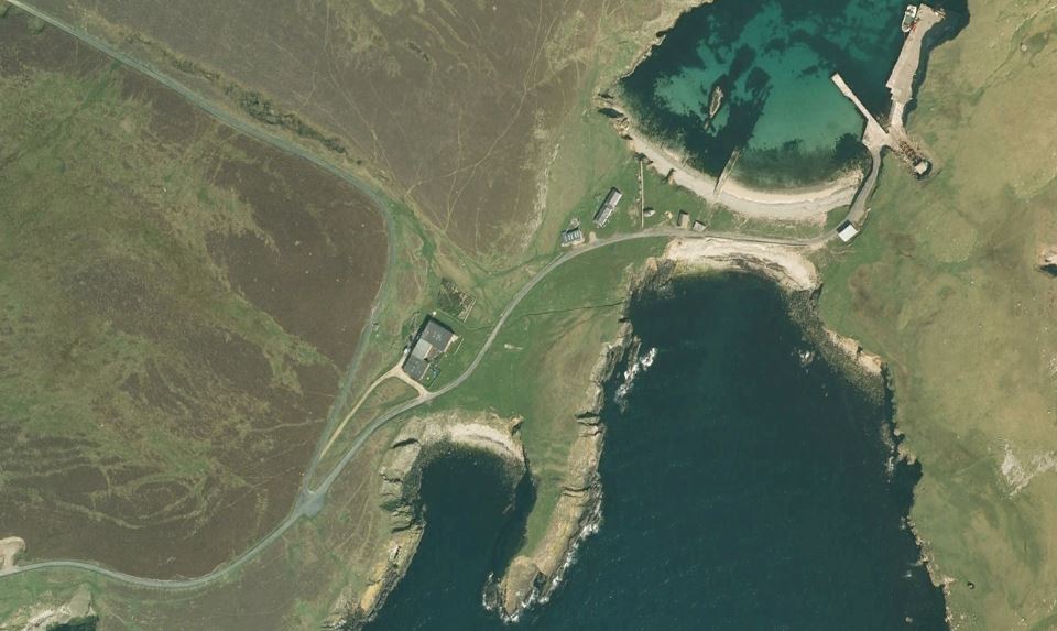 Note: this Google image was taken on 9 May 2008 and shows the old observatory building
Open Google Maps in a new window
Bing maps
 Note: this Bing image was taken on 21 May 2012 and shows the new observatory building
Open Bing Maps in a new window